A Framework to Annotate the Uncertainty for Geospatial Data
Published Nov. 3, 2015
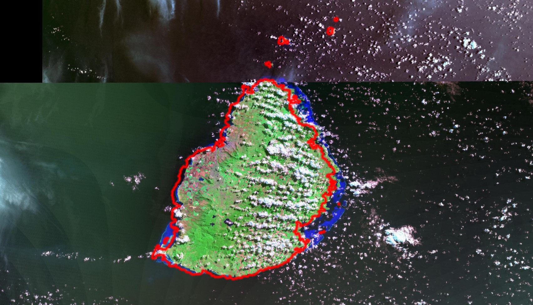
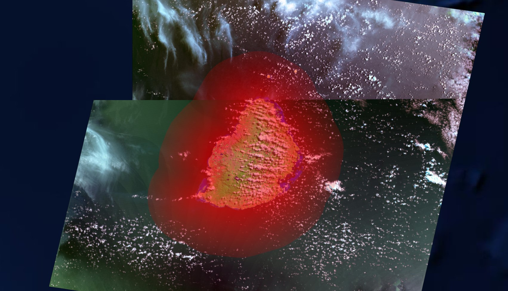
We have developed a new approach to annotate the uncertainty information of geospatial data. This framework is composed of a geospatial platform and the data with uncertainty. The framework supports geospatial sources such as Geography Markup Language (GML) with uncertainty information. The purpose of this framework is to integrate the uncertainty information of data from the application users and thereby ease the development of processing uncertainty information of geospatial data. Having well organized data and using this framework, the end-users can store the uncertainty information on the current geospatial data structure. For example, a GIS user can share the error information for environmental and geospatial data to others. We also report on the enhanced geographic information system functionality.