Gulf States Center For Environmental Informatics
About Us
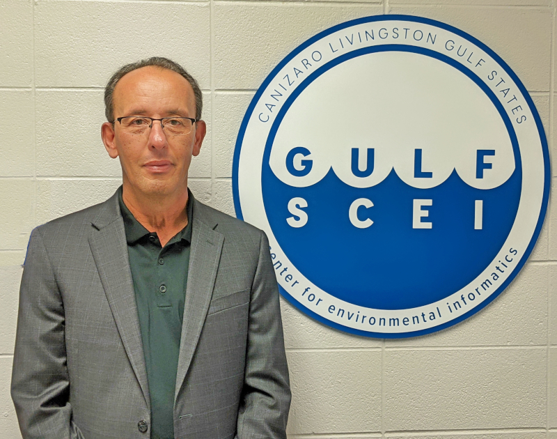
Dr. Mahdi Abdelguerfi
Director
Welcome to the Canizaro Livingston Gulf States Center for Environmental Informatics (GulfSCEI, pronounced “Gulf Sea”). We foster interdisciplinary collaboration within the University of New Orleans and between investigators across the Gulf of Mexico, and empower scientists and engineers with modern informatics tools to solve environmental problems of the coastal margin of the US Gulf States. We assist state and federal agencies, non-governmental organizations, and industrial partners to advance their educational, research, and development capabilities in environmental informatics. Questions and inquiries about GulfSCEI should be directed to: gulfsceidirector@uno.edu.
Latest News
-
 Published Jul. 28, 2023
 -
 Published Mar. 10, 2023
 -
 Published Feb. 17, 2023
 -
 Published Dec. 6, 2022
Active Grants
-
Artificial Intelligence Algorithms to Identify Deficiencies in Flood Control SystemsAbdelguerfi, M. (PI), Hoque, T. (Co-PI)U.S Army Corps of Engineers (USACE)Award: $2,500,000 (W912HZ-23-2-004). Jan. 2023 — Jan. 2025
-
Geospatial Intelligence and Pattern DiscoveryAbdelguerfi, M. (PI)Office of Naval Research (ONR) - Department of the NavyAward: $1,813,141 (N00173-19-S-BA01). Sep. 2020 — Aug. 2025
-
Meeting the Challenges of the Silicon Bayou: A Cooperative StrategyAbdelguerfi, M. (PI)Louisiana Economic Development DepartmentAward: $5M (CFMS-729488-UNO). Jan. 2014 — Dec. 2024
Our Research
The GulfSCEI center fosters both interdisciplinary collaboration within UNO, and facilitates close collaboration with non-academic institutions, such as state and federal agencies and industrial partners. Some of our latest research topics include:
Equipment & Capabilities
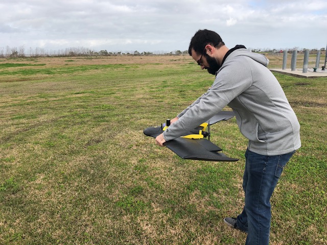
At GulfSCEI, we use cutting-edge technology to support our research and mission. We house multiple custom servers for data processing and analysis and numerous workstations. We also maintain and deploy drones with specialized optical technology and other sensors. Find out more about our ever-expanding equipment and capabilities with the button below.
Recent Publications
-
Panta, M., Hoque, T., Abdelguerfi, M., Flanagin, M., IterLUNet: Deep Learning Architecture for Pixel-Wise Crack Detection in Levee Systems, IEEE ACCESS, 2023, doi 10.1109/ACCESS.2023.3241877.
-
Pokhrel, P., Ioup, E., Hoque, T., Abdelguerfi, M., Simeonov, J., A Transformer- Based Regression Scheme for Forecasting Significant Wave Heights in Oceans, IEEE Journal of Oceanic Engineering, vol. 47, no. 4, pp. 1010-1023, Oct. 2022, doi: 10.1109/JOE.2022.3173454
-
Murphy, D., Ioup, E., Hoque, T., Abdelguerfi, M., Multi-Channel Residual Learning for Marine Mammal Classification, IEEE ACCESS, 2022, doi: 10.1109/ACCESS.2022.3220735.
-
Holmberg, E, Ioup, E., Abdelguerfi, M., A Stochastic Geo-Spatiotemporal Bipartite Network to Optimize GCOOS Sensor Placement Strategies, Second Workshop on Knowledge Graphs and Bid Data in Conjunction with 2022 IEEE Conference on Big Data, On Line Workshop, December 2022. [Full Paper]
-
Kuchi, A., Panta, M., Hoque, T., Abdelguerfi, M., Flanagin, M., A Machine Learning Approach to Detecting Cracks in Levees and Floodwalls, Remote Sensing Applications: Society and Environment, Elsevier, 2021.
-
Pokhrel, P., Ioup, E., Hoque, M., Abdelguerfi, M., Simenov, J., Forecasting Rogue Waves in Oceanic Waters, IEEE International Conference on Machine Learning and Applications (ICMLA), Seattle, Washing, December 2020.
-
Rajendra, R., Michael, C., Ioup, E., Hoque, T., Abdelguerfi, M., Online Feature Selection for Semantic Segmentation, The 9th International Conference on Data Analytics, Nice - France, October 2020.
-
Sharma, A., Hoque, T., Ioup, E., Abdelguerfi, M., Wind Forecasting from Airplane Data, 2020 International IEEE Geoscience and Remote Sensing Conference, Hawaii, July 2020.
Make a Gift
Please consider helping the GulfSCEI center by making your tax-deductible donation today.
Contact
The GulfSCEI center is located at The University of New Orleans. Inquiries should go to gulfsceidirector@uno.edu.